
Milldam Plantation – Georgetown – Georgetown County
Basic Information
- Location – North Santee River, Georgetown, Georgetown County
Located on Minim Island off SC Secondary Road 30 (North Santee River Road)
- Origin of name – ?
- Other names – Mill Dam, Kinloch
- Current status – Privately owned
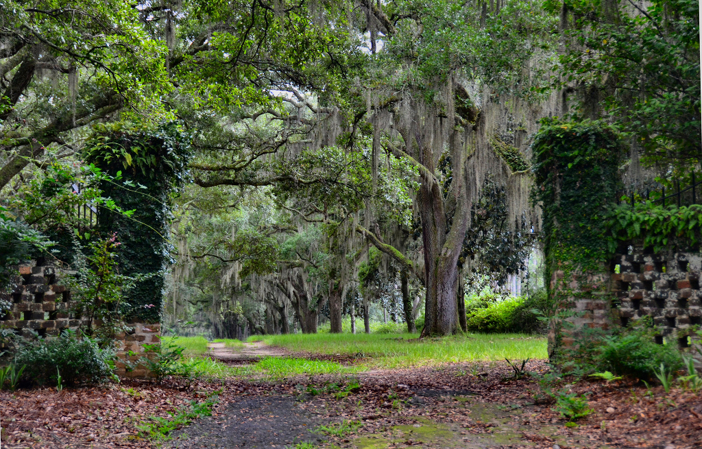
— Milldam Plantation / Kinloch Entrance © Pamela Bohnenstiehl, 2014 —
(Do Not Use Without Written Consent)
Timeline
- Circa 1718 – Earliest known date of existence (2, p. 641)
Thomas Lynch I obtained a warrant from the Lords Proprietors (2, p. 641)
- ? – House built
- 1773 – Thomas Lynch II sold 2,528 acres to Elias Horry III (2, p. 641).
- 1776 –Elias Horry III sold 770 acres to his brother Thomas Horry. Thomas formed Milldam Plantation, Camp Main Plantation and Camp Island Plantation (2, p. 641).
- 1820 – Thomas Lynch II's son Elias Horry IV inherited the plantation from his father (2, p. 641).
- 1834 – Elias Horry IV's will left Milldam Plantation to son William Branford Shubrick Horry (2, p. 642).
- 1865 – William Branford Shubrick Horry died and his brother Edward S. Horry was the estate's executor. The Civil War drastically declined plantation values and Milldam was declared to be sold at sheriff's auction to satisfy the Horry estate's debts (2, p. 643).
- 1872 – Milldam Plantation was conveyed by the United States Marshall to William S. Dawson due to a lawsuit against Horry descendants (2, p. 643).
- 1879 – The house was destroyed by fire (1, p. 3).
- 1880 – The plantation was sold by the sheriff due to foreclosure to Benjamin C. Pressley and Rush F. Gaillard (2, p. 643).
- 1885 – Arthur M. Manigault purchased Milldam from the estate of Benjamin C. Pressley (2, p. 643).
- 1892 – Arthur M. Manigault sold the plantation to Ward and Springs Company (2, p. 643).
- 1912 – A group of wealthy businessmen from Wilimington, Deleware purchased 14 tracts of land and formed the Kinloch Gun Club (2, p. 644).
- 1923 – A 15 room house was constructed on land that had once been Milldam Plantation (2, p. 644) and (4).
- 1930 – Eugene DuPont and cousin Eugene E. DuPont bought out the other partners to become sole owners of Kinloch Gun Club (2, p. 644).
- 1962 – Eugene E. DuPont became sole owner of the property (2, p. 644).
- 1966 – Eugene E. DuPont died leaving Kinloch Gun Club to his daughters Deo DuPont Weymouth, Phyllis DuPont Schutt, Murton DuPont Carpenter, and Nancy DuPont Reynolds (2, p. 644).
- ? – Ted Turner purchased Kinloch from the DuPont sisters (2, p. 644).
- 2001 – The property was owned by Jane Smith Turner (Ted Turner's second wife) and family (2, p. 644).
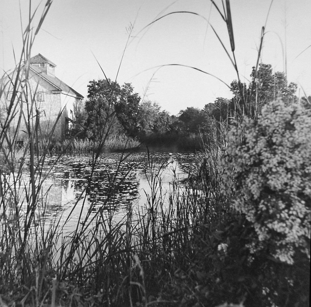
— Milldam Plantation Rice Barn © Vennie Deas Moore, 2000 —
(Do Not Use Without Written Consent)
Land
- Number of acres – Approximately 8,000 in 2014 (4)
- Primary crop – Rice - Milldam also had a rice mill on site
Slaves
- Number of slaves – 118 by Thomas Horry (2, p. 641)

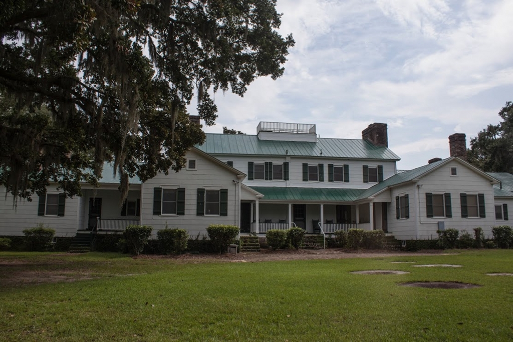
— Kinloch Gun Club Plantation House © Pamela Bohnenstiehl, 2014 —
(Do Not Use Without Written Consent)
References & Resources
- National Register of Historic Places
– Nomination form - PDF - submitted in 1987
– Photographs, architectural overview
- Suzanne Cameron Linder and Marta Leslie Thacker, Historical Atlas of the Rice Plantations of Georgetown County and the Santee River
(Columbia, SC: South Carolina Department of Archives and History, 2001)
 Order Historical Atlas of the Rice Plantations of Georgetown County and the Santee River
 - George C. Rogers, Jr., The History of Georgetown County, South Carolina
(Spartanburg, SC: Reprint Company, 1990)
Order The History of Georgetown County, South Carolina - Information contributed by Pamela Bohnenstiehl.

— Milldam Plantation Oak Avenue © Pamela Bohnenstiehl, 2014 —
(Do Not Use Without Written Consent)
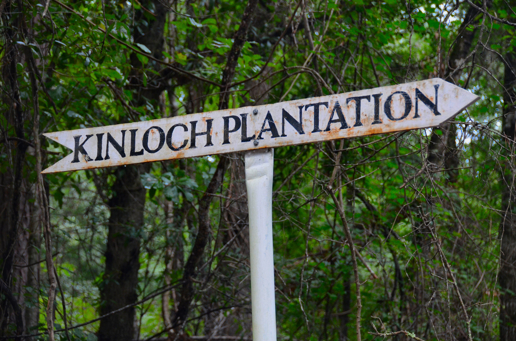
— Kinloch Plantation Sign © Pamela Bohnenstiehl, 2014 —
(Do Not Use Without Written Consent)
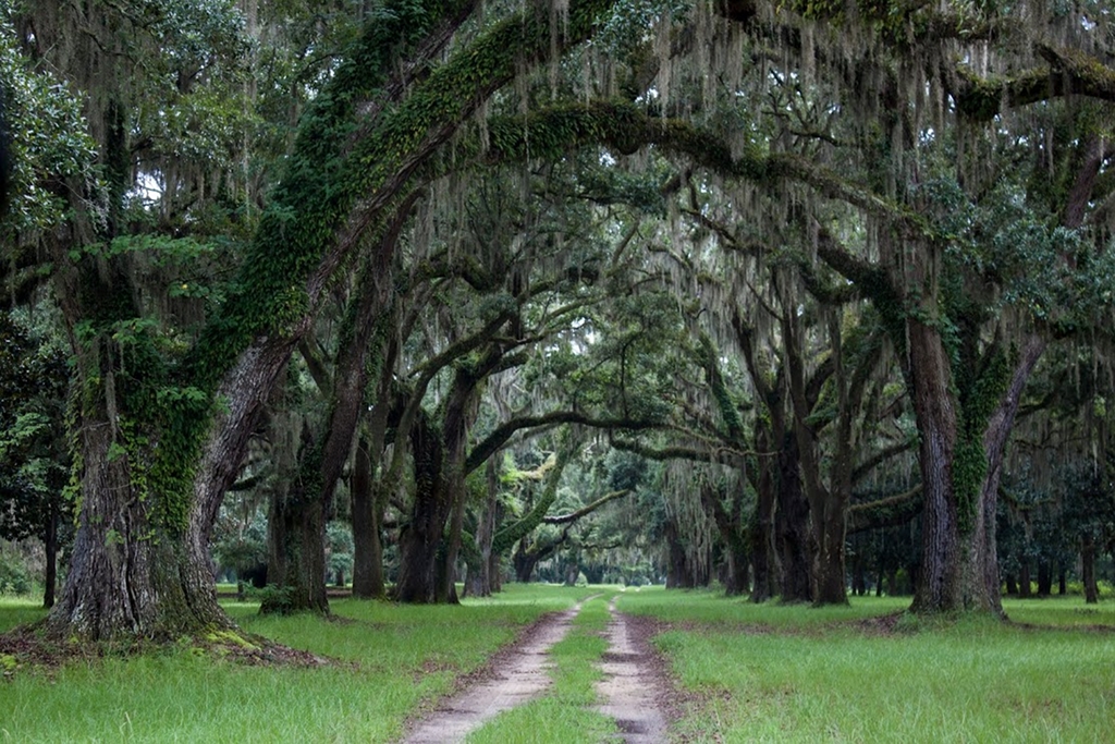
— Milldam / Kinloch Plantation Avenue of Oaks © Brandon Coffey, 2014 —
(Do Not Use Without Written Consent)

— Milldam Plantation © Ralph Preston, 2010 —
(Do Not Use Without Written Consent)